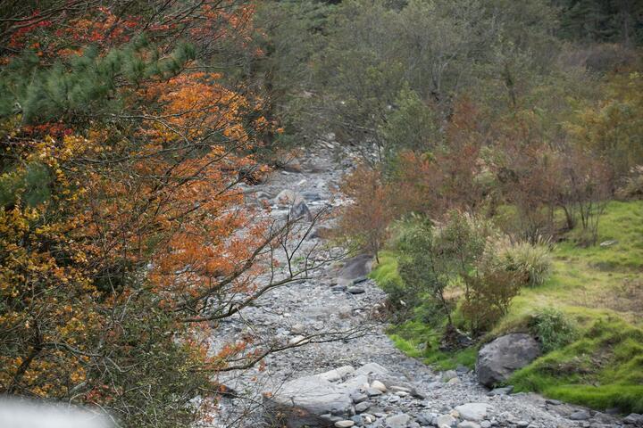
Siyuan Cliff Introduction
Siyuan Ridge is located at the border of Taichung City and Yilan County, falling within the jurisdiction of Datong Township in Yilan County. It has an elevation of 1,948 meters and serves as the lowest saddle point where the Nanhuda Mountain and Taoshang Mountain ranges intersect, as well as the watershed dividing the Lanyang River and Dajia River, marking a boundary between two climatic zones. Formerly known as Biyanan, the name derives from the Atayal language meaning "the place where ancestors once visited," which was phonetically adapted by the Japanese as "Biyanan." Later, the government renamed it "Siyuan," reflecting the meaning of “to remember the source of drinking water,” while "Ridge" refers to the depressed area connecting two mountains. The forest here predominantly consists of warm-temperate forests, with red cypress and chamaecyparis formosensis in the upper part, and other tree species like fragrant nanmu, black heart wood, red alder, and Taiwan hemlock in the remaining areas, nurturing a rich variety of wildlife and insects. Siyuan Ridge is the connection point between the Xueshan Range and the Central Mountain Range, resulting in distinct seasons and beautiful scenery. In spring and summer, numerous flowers bloom, while in autumn and winter, leaves change color and fall. If moisture is sufficient, there is even a chance of snowfall, allowing visitors to witness a picturesque scene reminiscent of northern countries.