Yongjia Scenic Trail (Red Dragon Mountain) Introduction
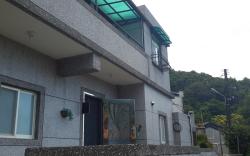
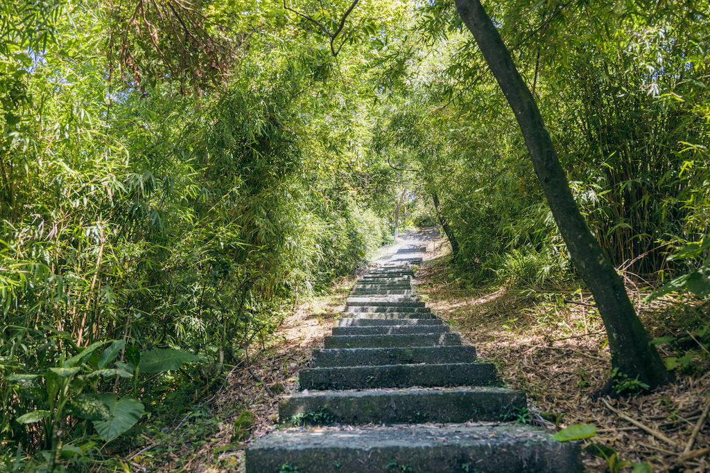
The Yongjia Scenic Trail in Honglong Mountain is located on the slope of Chongde Road, with entrances at Lane 10 of Chongde Road (accessible from Anyi Road) and a set of stairs beside the Liu Ming-Chuan Tunnel. The trail offers a wide view and is well-planned, allowing hikers to follow the mountain ridge stairs and pass by historical sites such as forts and temples. According to legend, during the late Qing Dynasty and early Republic era, a highly skilled fisherman worked in the waters near Keelung Islet. As the sun set, he looked at Honglong Mountain from the islet and noticed that it resembled a red dragon coiled around the mountain, which is how it got its name. Along with Shiqiuling, Hongdanshan, and Yuemei Mountain, it served as a stronghold for the Qing army during the Sino-French War, and hikers can also see the remnants of abandoned bunkers along the way, experiencing the historical imprints left behind. The Yongjia Scenic Trail takes about 40 minutes one way; the distance is not long and the slope is not too steep, allowing hikers to choose a suitable segment for their trek. In addition to hiking, the entire trail offers views of Keelung Port, allowing visitors to enjoy the scenery while exercising. Although the mountains in Keelung are not very high, they provide a vantage point to overlook the city, and Honglong Mountain also has a viewing platform that gives a clear understanding of the distribution of various locations in Keelung City, which is a thoughtful design. Walking the Yongjia Scenic Trail allows for a visit to the Liu Ming-Chuan Tunnel and Shiqiuling Fort, or extend your trip to Lover's Lake and Waimushan Coastal Area.
 Yongjia Scenic Path (Honglong Mountain) Overview