Dongbei Xiaolingding Trail Introduction
From Fude Bridge on County Road 137, follow the signs to reach the Huguo Bridge parking lot. There are two routes: one is to walk along the north side road for about 1,200 meters to Xiaolingding, which has exercise facilities, restrooms, and drinking water, as well as a full view of Yuanlin City; the other route is to walk along the south side road for about 800 meters to a rest area, then follow the zigzag stairs indicated by the signs up to a pavilion next to the north side road. This branch route has a cobblestone ancient path that is steeper and requires careful walking. Along the trail, you will see Taiwanese acacia, longan, osmanthus, and other plants, making for a rich natural ecology and beautiful scenery, perfect for families and children to hike together. Currently, there is a path open from the Xiaolingding rest area to County Road 139, continuing uphill along a concrete road that connects to existing roads, leading through a cemetery area and large pineapple fields before linking back to County Road 139. Trail length: 3.36 kilometers. Walking time: 2 hours. Facilities: parking lot (motorcycles, cars), restrooms, pavilion, seats, fitness facilities, signposts.
 The vantage point is equipped with sports facilities, restrooms, and tea service, offering a panoramic view of Yuanlin City.
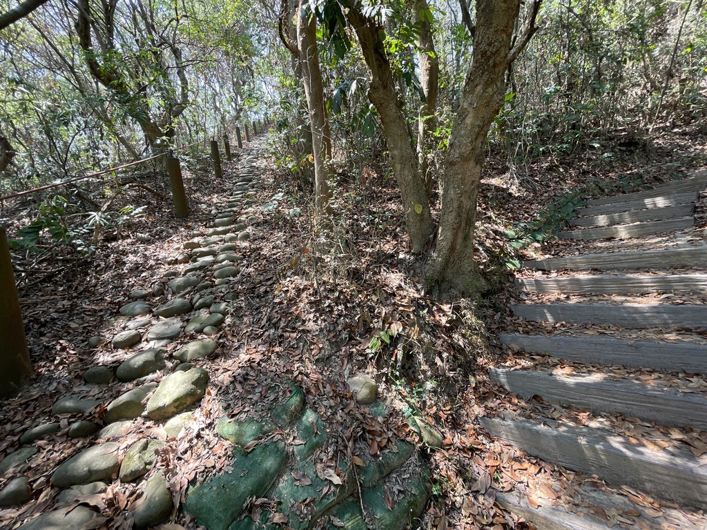
 Walking along the industrial road leads to the high point, with Taiwanese trees such as the Taiwan torrefacta (Elaeagnus), longan, and osmanthus planted along the way.


