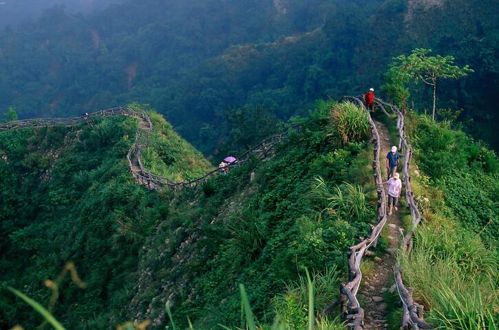
Dakeng No. 4 Trail Introduction
Due to the impact of the typhoon, the section from 0K+000 to 1K+200 starting from Changqing Bridge will be closed until August 31, 2025. Entry is prohibited during the closure to avoid danger. Dakeng Scenic Area – Hiking Trail Guide Dakeng Scenic Area is an important recreational area for Taichung citizens to relax and also a place for hikers to exercise and enjoy nature. It is one of the popular tourist attractions in central Taiwan; on weekends and holidays, many groups and families can be seen enjoying the scenery, making it a shared backyard for the citizens of Taichung. The most distinctive features are the 14 hiking trails, with trails No. 1 to 8 being established since 1981, built according to the natural terrain of Dakeng Mountain and its streams, with the highest peak, Touke Mountain, standing at 859 meters. Trail No. 9 was opened in December 2005, Trail No. 10 was completed in March 2008, and Trail No. 9-1 was completed in November 2013. Trail No. 4 Length: Approximately 1.9 kilometers, suitable for those in good physical condition. Trailhead: Turn right from the Dakeng Roundabout to Hengkang Lane, turn right at Liankeng Lane to the Zhongzheng Camping Area, and proceed to the parking lot to Changqing Bridge, which is the trailhead. Features: This trail maintains its natural state, with no obstructions on both sides, offering excellent views of the entire Taichung City. The trail is winding and presents challenges for hikers. Emergency Contacts for Dakeng Scenic Area: Dongshan Police Station: No. 30, Section 2, Dongshan Road, TEL: 04-22392713 Taichung City Rescue Association: No. 151-2, Section 2, Dongshan Road, TEL: 04-22110022 For camping-related inquiries – Zhongzheng Camping Area, TEL: 04-22390685