Eluanbi Park Introduction
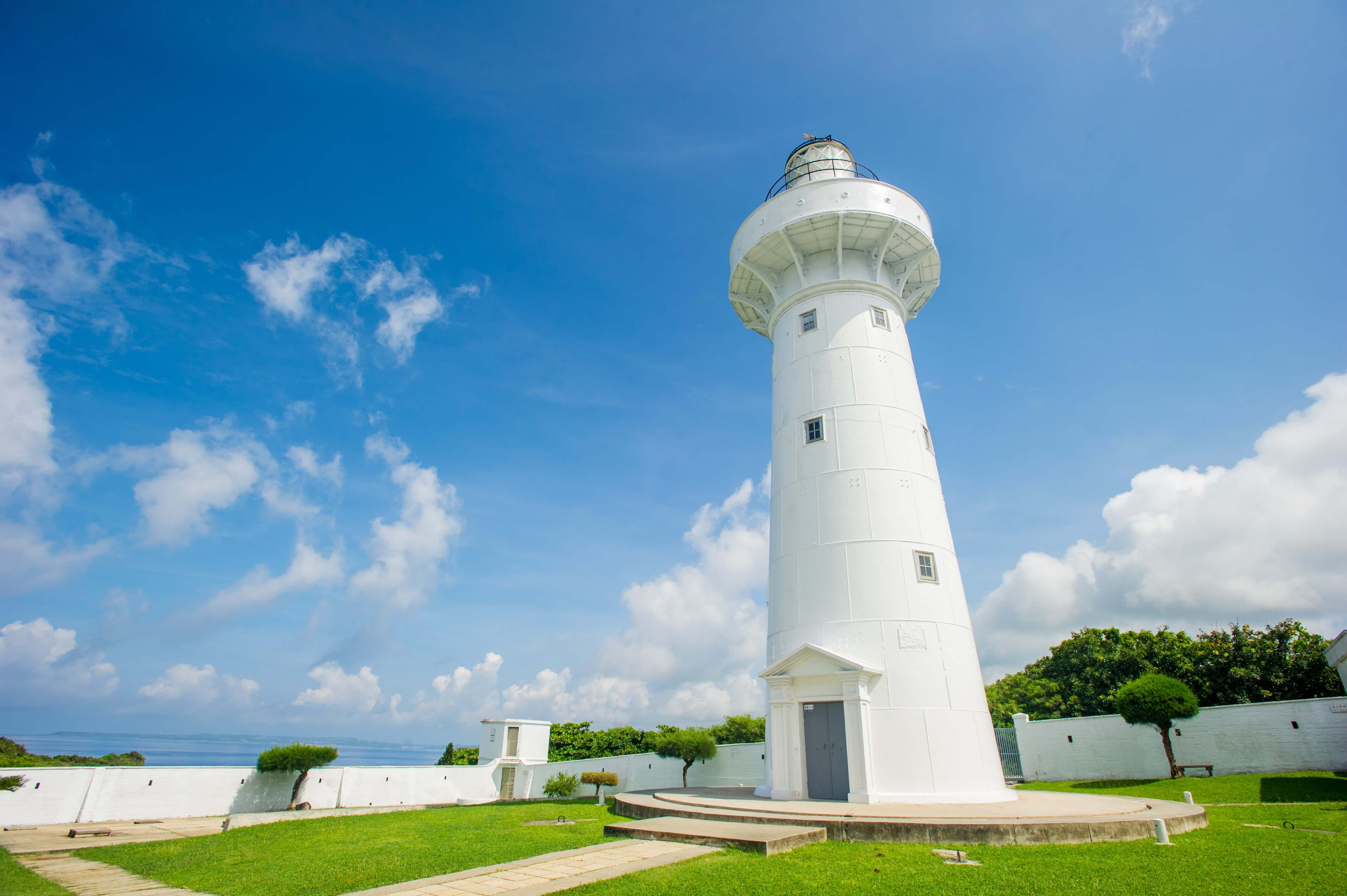
After passing Sand Island, continue along Taiwan Route 26 to reach Eluanbi Park and the lighthouse. "Eluan" means "sail" in the Paiwan language, named for the nearby Sail Rock which resembles a sail. Additionally, it is named Eluanbi because it is a landmass that juts out into the sea at the southernmost tip of Taiwan, resembling a nose. After the establishment of the Kenting National Park Management Office, the coral reef forest in front of the lighthouse was planned as "Coral Reef Park," covering an area of 59 hectares. The park features over 20 species of tropical plants and contains unearthed prehistoric relics, along with the century-old lighthouse, making it a noteworthy place to visit.
 Eluanbi
 Cape Eluanbi


