Tanyaseng Greenway Introduction
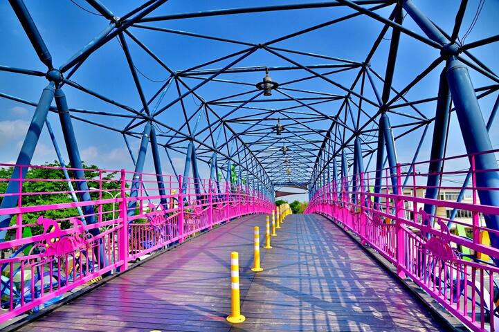
The Tanyashen Greenway is approximately 13.6 kilometers long and is a dedicated bicycle path converted from the Taiwan Railways Administration's Shengang Line. The route starts at the Tanshin Bicycle Sky Bridge as its eastern endpoint, heading west through the boundary between the Tanzi District and the Fengyuan District, as well as the Shengang District and the Daya District, reaching the western terminal at Qingshuigang. It was officially opened on May 2, 2004.


