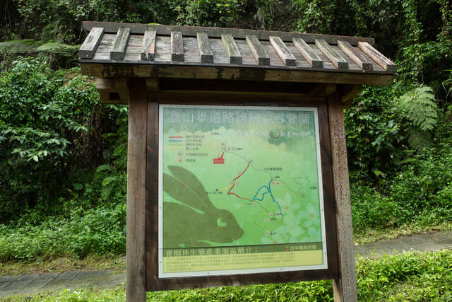
Qingtonglin Ecological Area Trail Introduction
無
無
Address:Beikeng Industrial Road, Wufeng District, Taichung City 413
無
Qingtonglin Ecological Area Trail Travel Information
Address:Beikeng Industrial Road, Wufeng District, Taichung City 413
Other Nearby Attractions: Qingtonglin Ecological Park 、 Tonglin Neighborhood Hiking Trail 、 Fugu Strawberry Farm 、 Guo Hsing Coffee Shop (Guo Hsing Station) 、 Caoling Historic Trail and Fengzailin Trail 、 Qiao Song Yun Tian (National Highway No. 6, Guoxing Interchange) 、 Taiping Bat Cave, Bat Bridge and Hiking Trail (closed) 、 Jinling Mountain Religious Leisure Park 、 Baiyang Temple 、 Baicangyi
Nearby Cuisine: Old Place Hakka Restaurant 、 Yi Lu Hall 、 Wangxi Lou Vegetarian Restaurant 、 Cat Boss Coffee 、 Annie's Kitchen 、 Beizawa Sukiyaki - Dali Branch 、 Shutai Old Japanese Set Meal - Taichung Dali Store 、 Floral Millennium Seafood Banquet Hall 、 Bawan Li Baijian Old Shop 、 Shui Mou Tea House


