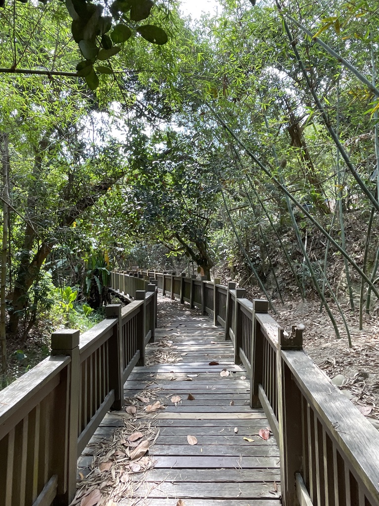
Yinsetian Trail Introduction
The geological landscape of "One Line Sky" is located in Beishikeng, at the innermost part of Taoyuan Street in Taoyuan Village, accessible via Longxian North Road. Following the sign for the wooden boardwalk along Longxian North Road, visitors traverse dense forests and walk through magnificent dune canyons carved by stream erosion. The journey takes about 20 minutes to reach the beautiful scenery of "One Line Sky." The riverbed in Beishikeng has long been dry, evolving into a primitive forest, where the terrain created by the waterway has formed towering cliffs. The entire cliff face rises abruptly, appearing as if it has been cut with a knife, with plants sprawling and clinging to the cliff face, showing vibrant life. "One Line Sky" is nestled between the two towering cliffs, where the pathway narrows, requiring visitors to sometimes crouch or sidestep to pass through. Looking skyward within the canyon creates a view reminiscent of a single line in the sky, hence its name. The canyon's topography captures the traces of stream erosion and tectonic shifts from tens of thousands of years ago. Trail length: 1.64 kilometers. Walking time: 0.6 hours. Facilities include signboards, notices, and warning signs (The trail is maintained by the Taoyuan Community Development Association in Changhua City and requires group reservations for visits. For reservation details, search for the Facebook fan page "Changhua One Line Sky Trail").
 The One-Line Sky Trail is flanked by steep rock walls and steep slopes.
 The steep rocks on both sides of the One Line Sky Trail only allow for single file passage.


