Canguangliao Ancient Trail Introduction
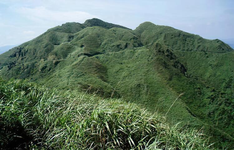
Canguangliao Mountain is adjacent to the famous Jinguashi Scenic Area, with an elevation of 739 meters, making it the highest peak in the Keelung Volcano Group. The area is characterized by lush Miscanthus grass, which in autumn covers the mountains with silver flowers shining in the sunlight. This is said to be the origin of the name "Canguangliao." The summit of Canguangliao Mountain is unobstructed, and with no peaks taller than it nearby, the viewing radius extends nearly 100 kilometers. It offers a 360-degree panorama; on one side, you can gaze at Taipei City, while on the other, you can see the Sandiao Cape Lighthouse and the Northeast Coast.


