Hai Shen Leisure Park Jialeshui Introduction
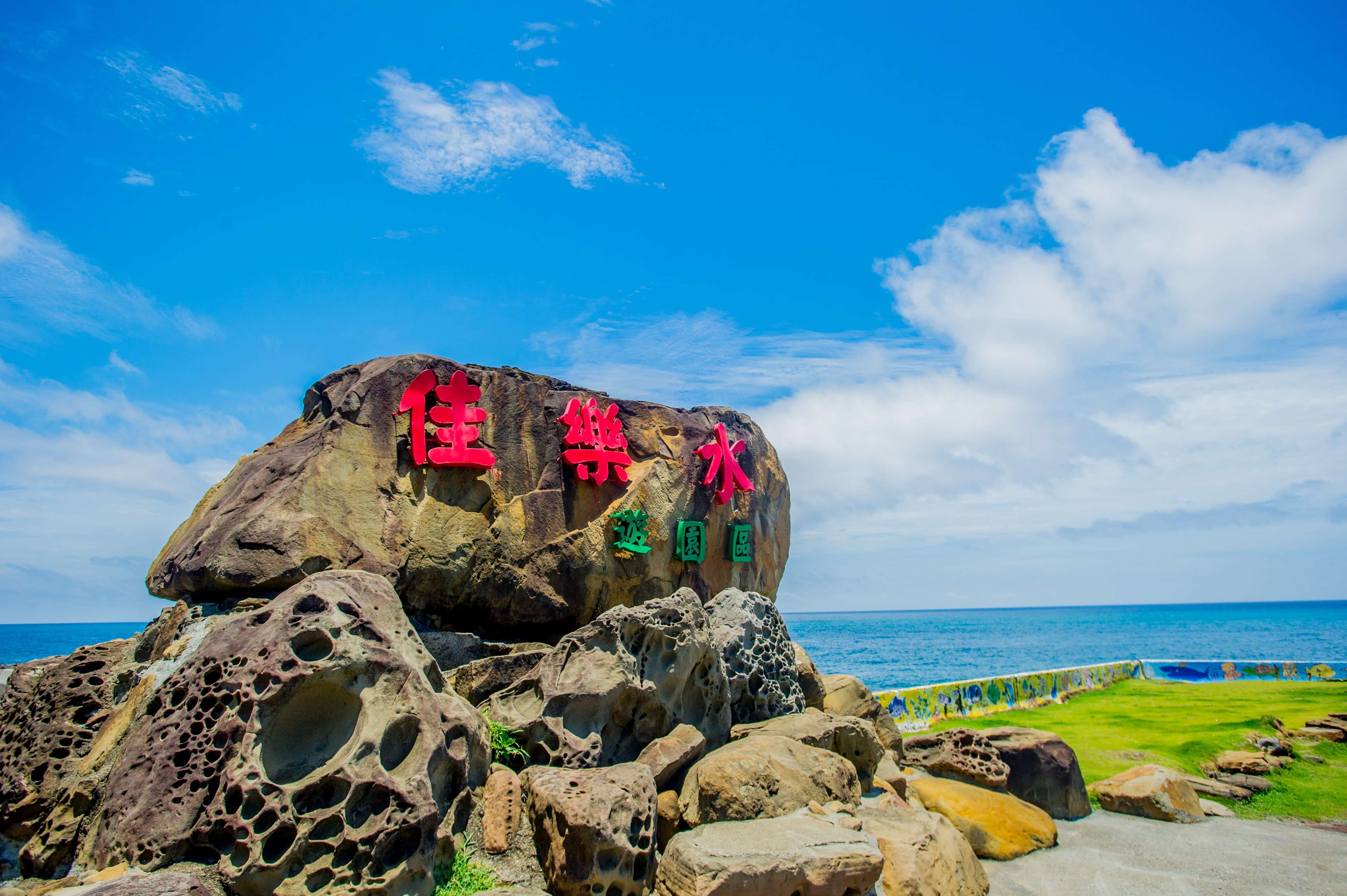
After leaving Port Village, continue along Provincial Highway 26 to the end. Along the way, you can see many coral reef coasts and unusual rock formations. You have arrived at "Jia Le Shui (佳樂水)" in the "Sea God Park (海神樂園)". Jia Le Shui was originally named "Jia Luo Shui," which is derived from its Taiwanese pronunciation meaning "water falling from a high place." At the end of the trail in Jia Le Shui Scenic Area, there is a waterfall called "Mountain Sea Waterfall." Later, the name was changed to Jia Le Shui, based on the meaning of "An He Le Li." Although Jia Le Shui Scenic Area is not located within Kenting National Park, the geological phenomena and weather conditions in the area are diverse and the rocky landscape is rugged, earning Jia Le Shui the title of "Sea God Park." The natural landscape of Jia Le Shui Scenic Area is entirely composed of deep-sea sedimentary rock layers, exhibiting distinct layers, making it a natural geological classroom. In addition, there are unusual rock formations that have been shaped by coastal erosion, which are quite eye-catching and worth taking a moment to observe along the scenic trail. The geological landscape of Jia Le Shui can be divided into three main types: "deep-sea rock layers," "sandstone layers," and "rocky coast." The scenic trail features two pavilions for relaxation and viewing the beautiful scenery. Most of the geological features can be seen toward the beginning of the trail, and a visit takes approximately 2.5 to 3 hours. Jia Le Shui is primarily composed of rock layers that were deposited in the deep sea millions of years ago, which later surfaced due to tectonic activity and were shaped by coastal erosion, resulting in a diverse geological landscape: - Deep-sea rock layers: Jia Le Shui is the only place in the Hengchun Peninsula with a "rocky coast," these layers originate from sedimentary deposits on the deep-sea continental slope, allowing visitors to see "flame-like and collapse structures" within the scenic area. - Sedimentary rock layers: Approximately 10 million years ago, at the bottom of the deep sea, ocean currents brought a large amount of sand particles, forming sand layers. As sand layers and mud layers continuously overlapped and deposited horizontally, the sand layers became "sandstone layers" and the mud layers became "shale layers." After hundreds of thousands of years, tectonic movements caused the rock layers to be pushed and tilted, generating sedimentary structures such as "flame-like and collapse structures," "wave marks," and "trace fossils." - Erosional landforms: When the rock layers became exposed above sea level, they were gradually eroded by seawater and biological activity, creating various landscapes, such as "nodules," "dyed patterns," "boreholes," and "weathering windows." Dyed Patterns: As you walk over the rock surfaces, you will notice many beautiful red or reddish-brown streaks on the rocks. This is mainly because there are many joints and gaps in the sandstone layers, allowing groundwater rich in iron to flow through. After exposure to air, it produces iron oxide, which is red and fills the gaps, forming dyed patterns. Weathering Windows: Along the rocky coast, you will see many small windows spread across a layer of rock. These coastal erosion landforms are known as "weathering windows," because their shape resembles beehives and are also called "honeycomb rocks." They originally were small holes in the rocks, but after erosion and weathering by seawater and sea winds, they formed "weathering windows." Collapse Structures: Collapse structures are also a geological landscape caused by twisting of rock layers, primarily due to underwater landslides that create geological structures after the sandstone layers are twisted. Mountain Sea Waterfall: At the endpoint of the trail, you can see the final attraction, "Mountain Sea Waterfall." This is the only waterfall in the Kenting area, with water cascading down directly into the sea, offering a magnificent view. The water for the waterfall comes from streams on the cliffs, and when the water flows down from above, it truly lives up to its name "Jia Luo Shui." During the rainy season, the water volume is abundant, and when it spills into the sea, it is imposing; during the dry season, it resembles a gentle stream, making the grand view of Mountain Sea Waterfall a cherished sight!
 Chiau-Ler Water Scenic Area Trail
 Coral reef and sandstone coastline


