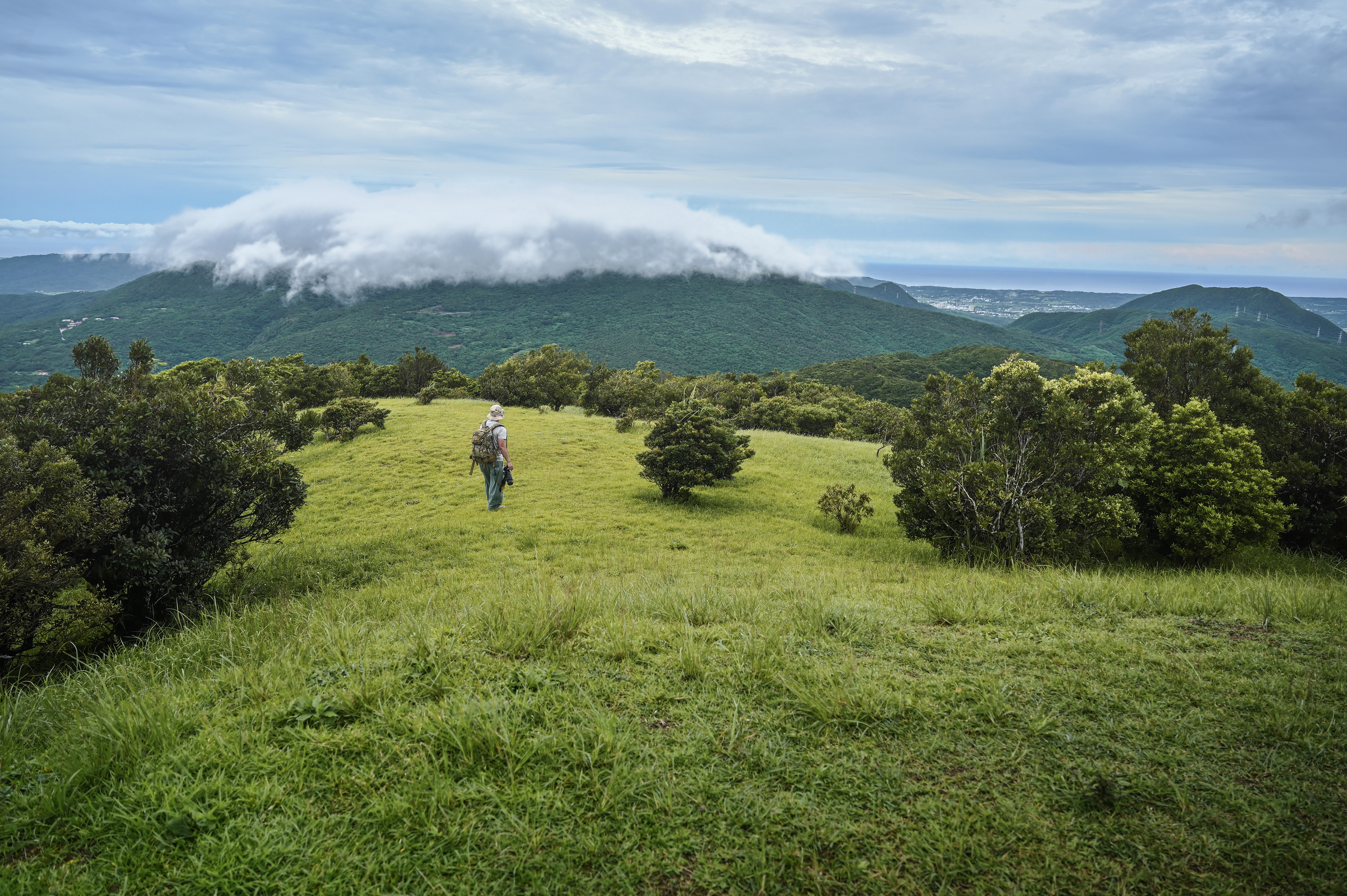
Luo Shan Feng Scenic Area - Fengyu Peninsula Introduction
The Luoshanguo Scenic Area covers the townships of Checheng, Mudan, and Manzhou, with boundaries defined by ridgelines, township borders, rivers, forest management boundaries, land registration boundaries, roads, and national park boundaries, encompassing an area of approximately 11,300 hectares. The area is connected to Kenting National Park primarily via Provincial Highway No. 26, County Road 199, County Road 199甲, and County Road 200. The boundary does not include lands managed by the Taitung Forest District Office of the Forestry Bureau, the Ministry of National Defense Armaments Bureau, and the Chungshan Institute of Science and Technology's experimental base. It includes nine villages in Checheng Township: Haikou, Tianzhong, Fu'an, Fuxing, Xinjie, Puqian, Sheliao, Tongpu, and Wengquan; six villages in Mudan Township: Shimen, Mudan, Dongyuan, Xuhai, Gaoshi, and Silin; and three villages in Manzhou Township: Gangzi, Changle, and Jiupeng. What is "Luoshanguo"? Luoshanguo is the common term for the northeastern monsoon on the Hengchun Peninsula in Taiwan. More specifically, Luoshanguo is classified as a downslope wind, where the central mountain range of the Hengchun Peninsula decreases in height to about 400-1,000 meters. From October to April of the following year, the northeastern monsoon descends over the mountains, generating strong downslope winds that hit the western coast of the Hengchun Peninsula, affecting areas like Checheng, Mudan, and Hengchun on the leeward slope. The instantaneous strength of Luoshanguo can reach levels 6 or 7, comparable to the power of a minor typhoon, with recorded incidents of it overturning motorcycles and small cars, resulting in injuries and fatalities. It has also caused sandstorms in Jiupeng Desert and Haikou Desert. (Source: Pingtung County Government - Luoshanguo Scenic Area - "Windy Peninsula" official website)
 Xuhai Mudan Bay (provided by Pingtung County Government)


