Lion Park Introduction
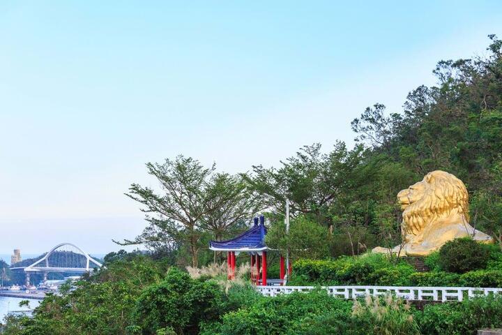
Lion Park, located at No. 11, Su-nan Highway, Su'ao Township, Yilan County, is situated on the hillside of the Su'ao small hills. It was formerly part of the important branch "Su-nan Highway" leading to Nanfang'ao, which originally served as one of the starting points of the Suhua Highway. Following the construction of the new harbor access road, it gradually transformed into a sports and leisure trail. The park was established in 1985 and was jointly funded by the Su'ao Lions Club and the Kitakyushu East International Lions Club from Japan, creating a landmark recreational park. Its most notable feature is the majestic lion statue made of reinforced concrete at the top of the small hill, symbolizing the exchange and friendship between the Lions Club and the local community.


