Luchang Village Introduction
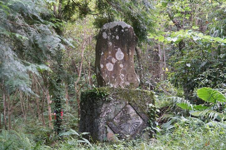
Originally named "Jiubusi" in the Atayal language, it is a gathering village of the Atayal people. The Atayal tribe is one of the indigenous groups in Taiwan, second in population only to the Amis. They tend to live in mountainous areas with streams, which not only facilitates defense but also allows easy access to water. A few years ago, a car advertisement brought renewed attention to the unpretentious beauty of Luchang, with its natural charm being its greatest attraction. The residents here are primarily Atayal, and during the Japanese colonial period, more than three hundred residents from Windmei and Luchang communities established a public elementary school, a police station, a post office, and a trading company. Due to a geological event, and for safety reasons, all residents relocated to Donghe Village, making Luchang a sparsely populated area. Currently, old buildings can still be seen on the mountain, while the school from the Japanese era has already been demolished. Many of the Atayal people here migrated from other areas, originating from the Makatao system’s Xikaluo group, Jinaji group, and the Luchang group from Morilla. According to surveys, the current Atayal residents originally lived on both sides of mountain ridges extending from the northern ridge of the Xueshan mountain range, with the village located on a gentle hill or terrace squeezed between two small tributaries, at the source of the Xikaluo River and the upper reaches of the Shangping River, with the northern Minyoushan and the southern Luchang Dayan extending to the long ridge of Zateng Mountain being their ancestral land. After the end of Japanese rule, some indigenous people who were "forcibly relocated" returned to their ancestral lands, but due to inconvenient transportation and living conditions, most chose to settle here. Village features - The Jialishan Hiking Trail is 5.8 kilometers long, with remnants of logging rail tracks along the way. At the summit, there is a first-class triangulation point that offers a distant view of the Xueshan Sacred Ridge and Luchang Dayan. Village features - The scenery of Shensheng Valley is magnificent and beautiful, with pathways, pavilions, and suspension bridges for visitors to stroll. From the suspension bridge, one can overlook the famous "Shensheng Twin Waterfalls". Village features - The Japanese Police Monument is located on the hillside behind the old site of Luchang Elementary School. The Japanese faced fierce resistance from the village when developing mountain forest resources, resulting in heavy casualties among the police, leading to the establishment of this monument in 1935 to commemorate those who died in Luchang. Village features - Ku Hua Pond is about 1 kilometer away from Luchang Village. The water source of the pond is the Fengmei Creek, hidden in the valley with stunning waterfalls, making it a very healing natural secret place. The clear deep pond has become a popular summer destination for wild stream activities, where many visitors engage in river tracing and diving. To enhance tourist safety and quality, new stone paths and steel structures have been added after adjusting the terrain based on the site conditions. Safety ropes have been installed on the slopes below the path, and resting platforms and interpretive facilities are provided at appropriate locations.