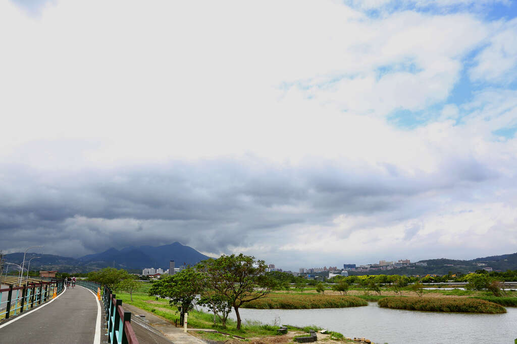
Shezi Island Cycling Route and Erchong Floodway Bike Path Introduction
Shezi Island is located at the confluence of the Keelung River and the Tamsui River, characterized by a sandbar geology. The area is dotted with rice fields and vegetable gardens, showcasing the simple beauty of the old rural village life. The region has built a bicycle path along the top of the embankment, attracting many cycling enthusiasts. At the sandbar of Shezi Island, one can observe the roaring confluence of the Keelung River and the Tamsui River. Every sunset paints the river surface with shimmering golden hues, and the distant views of Mount Datun and Guanyin Mountain stretch across the horizon, offering breathtaking scenery. To the south, the bicycle path connects to the left bank of the Bailin Bridge, where there are many large sports fields, often frequented by renowned domestic and international teams for training. Riding here allows one to enjoy the vibrant crowd of open sports fields, making for a fulfilling and lively experience. The Erchong Flood Diversion Canal Circular Bicycle Path stretches 24 kilometers, traversing the top of the embankment and entering the park area with various themed riverside green spaces, providing ample opportunities for exploration.


