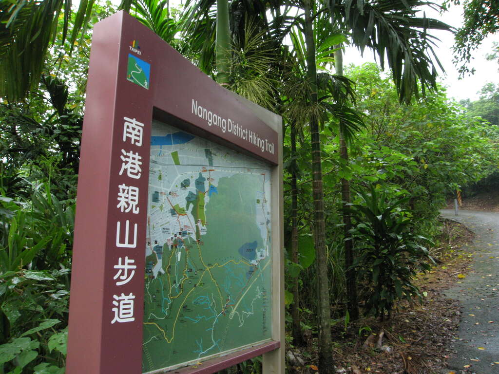
Nangang Mountain Range - Nangang Mountain Ridge Trail Introduction
Nangang Mountain is located on the eastern outskirts of the Taipei Basin, connected to the Four Beasts Mountain and has become a popular hiking trail. Entering from the Lingyun Temple archway at the Xiangshan hiking trail entrance, the path features well-maintained stone steps and trail guide maps, with scenery dominated by acacia trees. Along the trail, there are many newly built pavilions and benches for hikers to rest, allowing for a connection to the trails of Xiangshan, Hushan, and Lishan Bridge. Nangang Mountain, situated on the southeastern ridge of the Xinyi District and Nangang District, is the highest peak of the Nangang Mountain Range. At the summit, there is a night lighting installation and a third-order triangulation point No. 695. The ridge line of Nangang Mountain, ranging approximately 196 meters from Changshou Garden to Thumb Mountain, has many trails and paths, making it very convenient for hikers. From the summit, one can gaze northward, where the lower mountains of Xiang, Lion, Leopard, and Tiger, collectively known as the Four Beasts Mountain, are located. Looking east and south, one can see continuous mountain ranges, lush and layered. The highest point of Nangang Mountain has a television broadcasting antenna towering above the clouds, with significant elevation changes, making the climb stimulating and interesting. One peak is named "Jiu Wu Peak" in memory of General Yang Sen, who climbed this peak at the age of 95. Thumb Mountain lies to the south-southwest of Nangang Mountain and has no base station. Viewed from afar in Taipei, Thumb Mountain resembles a thumb raised toward the sky, hence the name. From the area around Nangang Mountain, the mountain's slope appears as a single incline, with the eastern slope being gentle and the western slope steep at approximately a 90-degree angle. On the ridge connecting Nangang Mountain and Thumb Mountain near Xiangshan, hikers must traverse a section of steep cliffs, which is a rare challenging route in the northern suburban mountains. At the summit of Thumb Mountain, there is a 360-degree panoramic view. On clear days, one can overlook the entire Greater Taipei area, Guanyin Mountain, Datun Mountain, Xizhi, Wulai, Sanxia, and beyond. During the Japanese colonial period, Thumb Mountain was planned as a protective forest, and after a long period of conservation, the forest is dense and complete, featuring representative tree species such as the Pencil Cedar and Taiwan Sweet Gum, with even wild taro appearing especially lush. The Eighteen Arhats Cave consists of eighteen massive boulders located amidst the rugged mountains of National Taipei University of Technology. Viewed from a distance, they resemble eighteen Arhats in different postures standing atop the mountain, with a cave in each boulder, hence the local name. However, this area is currently not open to the public, so hikers can only observe from afar. Walking along the ridge has the advantage of straightforward routes; following the marble markers inscribed with "Four Beasts Mountain Trail" ensures one will not get lost. Particularly on weekends, many hiking enthusiasts traverse the paths, all aiming for Jiu Wu Peak. Reaching the highest peak of the Nangang Mountain range, one can enjoy an expansive view on clear days, with the nearby Four Beasts Mountain—Xiangshan, Shishan, Baoshan, and Hushan clearly visible, alongside the distant Guandu and Keelung River merging into the horizon, and even the layered elevations of Wuzhishan and Qixingshan, and the undulating mountains of New Taipei City, presenting a stunning panoramic landscape. It's no wonder many people visit this trail to climb Jiu Wu Peak to enjoy the sunset and night views. The ridge trail of Nangang Mountain, along with the 360-degree wide-angle view from Thumb Mountain, offers a unique experience, revealing all parts of the Greater Taipei area, Guanyin Mountain, Datun, Qixingshan, and even distant views of Xizhi, Muzha, Wulai, and the Sanxia mountain range. As night falls, one can overlook the sights of Taipei and Taoyuan. Not only is the summit a picturesque spot, but along the way, there are also many viewing platforms, allowing one to enjoy the scenery from different heights and angles. The wide stone steps make the hike comfortable, and if one wishes to rest, there are also numerous pavilions along the route. Enjoying the forest bath and the lovely views depends on good weather; even in cloudy or misty weather, the abundance of phytoncides and the forest bathing experience won't disappoint, making one feel as if they've entered a fairyland amid the misty forest. The mountains surrounding Thumb Mountain have long been designated as protective forests since the Japanese colonial period, with rich conservation leading to dense and complete natural woodlands. The western half of the trail features high canopy density, and the eastern half is equally impressive. The path from the Banyan Tree saddle to the trails leading to the National Taipei University of Technology passes through an area where a misty forest appears dreamlike. This forest, located in the southeastern corner, is less affected by the northeast monsoons, making it denser and more humid than those on Xiangshan and Hushan. Notable plant species include the Taiwan Sweet Gum, heavily laden with fruit, and the Pencil Cedar, which stands tall, as well as particularly lush wild taro. The northwestern peaks of Xiangshan and Hushan belong to the same mountain range and are not as rich in natural landscapes. Toward the later sections of the trail, the rich forest scenery surpasses that of Hushan Trail, providing a more tranquil experience. Continuing forward, accompanied by a gentle stream, one can spot an ancient stone bridge, enhancing the serene atmosphere. Crossing over this little bridge, is it not leading to a "homestead"? Sure enough, a farmhouse appears alongside rows of coconut trees. Just when one thinks the scenic journey is coming to an end, a glance to the right reveals towering, bare rock peaks, which are the famous "Eighteen Arhats Cave," a breathtaking sight you definitely won't want to miss while traversing the gentle trail.


