Waisanding Sandbar Introduction
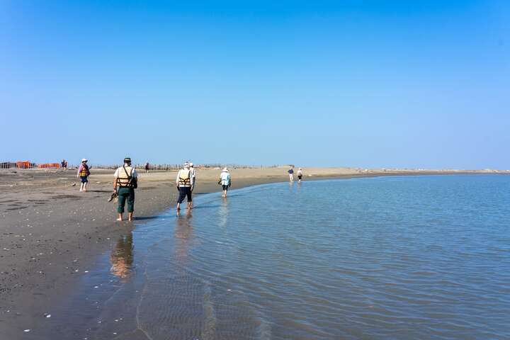
Waisanding Island is located about 10 kilometers off the coast of Yunlin and Chiayi, with an existing area of over 1,000 hectares. Named for its umbrella-like shape, it is the largest sandbar in Taiwan. Waisanding Island is influenced by waves, coastal currents, and the northeast monsoon, drifting southwestward by an average of 60 to 70 meters each year, thus earning the nickname "moving territory." It was primarily formed by the accumulation of mud and sand carried by the Zhuoshui River as it flows into the sea. The barrier provided by Waisanding Island has created a calm and vast sea area in the Dongshi Lagoon between Waisanding Island and Chiayi County, which has helped the oyster farming industry to thrive. In recent years, due to a decrease in sand sources, the area has gradually shrunk, and relevant authorities are working hard to save the disappearing Waisanding Island, attracting many tourists to admire its beauty. The Wangangwei Lighthouse is the only lighthouse on Waisanding Island, and it is a steel frame tower. The construction of the Wangangwei Lighthouse was prompted by the presence of a floating sand dune, approximately 5 kilometers long and 1.2 kilometers wide, which often disappears with the tides, affecting the navigation of nearby waterways. For safety reasons, the lighthouse was built. However, since it is situated on a sandbar, the lighthouse continuously drifts and faces the risk of its foundation being washed away. The Wangangwei Lighthouse has been rebuilt seven times, holding the record for the highest number of reconstructions in the history of lighthouses in Taiwan and the world.