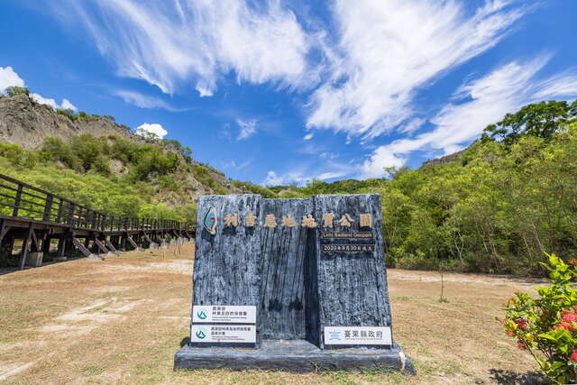
Liji Badlands Introduction
Li Ji Badlands has a wide range, stretching from Taitung Bridge to the eastern side of Beinan River, with a total length of about 100 kilometers. The area where the terrain is most prominently exposed is located in Li Ji Village, which is why it is named Li Ji Badlands. It is the first publicly announced local geological park in Taitung County and holds the title of Taiwan Geological National Treasure. The East Coast National Scenic Area Administration has set up scenic pavilions, wooden plank roads, and other facilities here, aiming to promote geological tourism and attract more visitors to appreciate the beauty of Taiwan's geology. The Li Ji Badlands is located on the convergence zone of the Eurasian Plate and the Philippine Sea Plate. During the plate collision process, the original stratigraphy was completely destroyed, creating very complex dislocations and shear phenomena, which are quite rare; thus, it has become an important site for studying plate collisions. After the strata were exposed to the surface, due to the characteristic of mudstone easily softening when encountering water, its surface is prone to erosion under the scouring of rainwater, making it difficult for plants to grow, resulting in a rugged landscape with numerous gullies, known as "Bad Land."