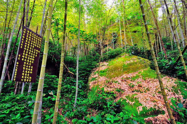
Minfan Boundary Stone Introduction
The "Meishan Indigenous Boundary Stone in Chiayi" is located on the highway from Route 162 towards Taiping Village, and can be found by turning left at the sign indicating 32 curves, then proceeding approximately 800 meters on the industrial road. The Indigenous Boundary Stone was established during the Qing Dynasty to delineate the boundary between mountainous and plain areas, with originally six such stones, of which the "Meishan Indigenous Boundary Stone" is the only surviving one. By the end of the Kangxi period, the mountainous areas in Chiayi belonged to the living territory of Indigenous people. In the early Yongzheng period, there were no Indigenous inhabitants in Meishan, making it an easy entry point for Han settlers. Since the Zheng regime, Han individuals who first crossed the sea to Taiwan engaged in land reclamation and the establishment of settlements in the fertile Chiayi Plain, attracting more immigrants. Consequently, during this time, immigrants from the original homeland gradually began to encroach upon the mountainous areas of Chiayi, leading to a reduction in the living space of Indigenous people and adversely affecting their original rights and interests.