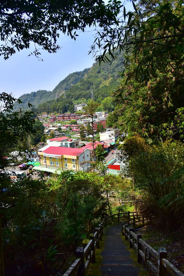
Wooden Horse Trail Introduction
Connected to the "Fenqi Lake Trail," the wooden horse boardwalk is part of the Fenqi Lake North District trail system, serving as the original "wood horse path" used for dragging timber. From the trail entrance across from the first parking lot, follow the somewhat steep wooden steps upwards. After crossing an arch bridge over the railway, you will enter a vast forest of moso bamboo and cedar trees. Along the way, there are two branch lines: one leads along the railway to the "Fenqi Lake Giant Tree," while the other starts at a fork in the path within a bamboo grove, heading towards "Cui Bamboo Slope." Continuing onward, the framework trail made of timber and gravel undulates and meanders through the lush bamboo forest. After crossing another arch bridge over Fenqi Lake Creek, you will arrive at the former wood horse path, with its end connecting to the fork leading into the "Fenqi Lake Trail." DATA Trail Length: Approximately 800 meters Walking Time: About 60 minutes one way Challenge Level: Level 2 (Beginner) Entrance-A: Across from the first parking lot GPS: 23°30'17.5"N 120°41'52.0"E Entrance-B: Next to the "County Route 169" at the intersection after entering the "Fenqi Lake Trail."


